India-UN Fund: Enhancing Forecasting and Flood Resilience Through South-South Cooperation in Suriname
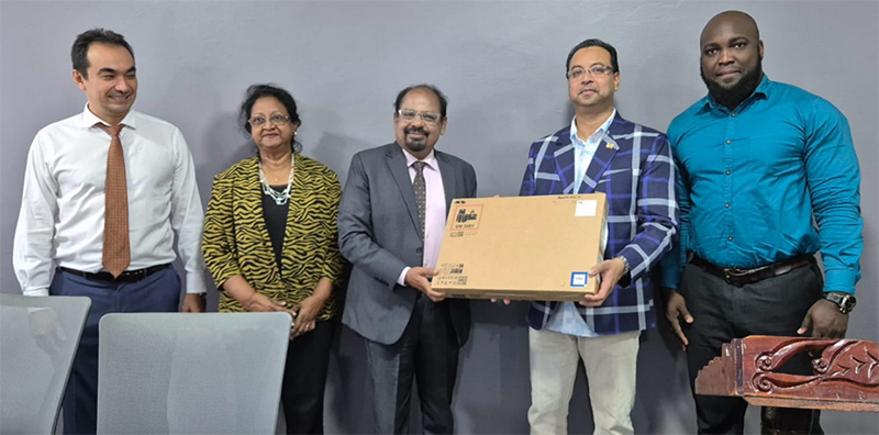
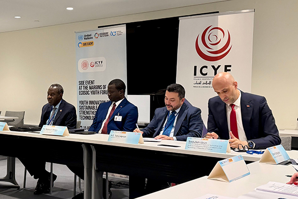
H.E. Ambassador of India to Suriname, UNDP DRR Minister, and Permanent Secretary at the computer handover ceremony equipped with ArcGIS software. Photo: UNDP Suriname.
An India-UN Development Partnership Fund project in support of Suriname is harnessing weather forecasting technology to protect communities from the unpredictable forces of nature.
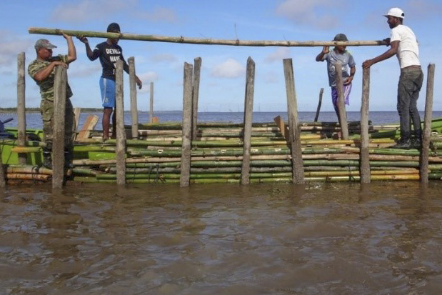
Suriname has experienced increased levels of rainfall, which recently affected over 6.4% of its gross domestic product and 5.6% of its agricultural land, presenting a significant concern to a critical economic sector.
With support from the India-UN Development Partnership Fund, and in collaboration with United Nations Development Programme and Suriname Ministry of Public Works, the ‘Enhanced Early Warning Services Delivery to Communities of Suriname in Order to Build their Resilience to Flooding due to Excess Rainfall’ project is building national capacities and developing an early warning system for hydrometeorological hazards.
This initiative plays an important role in mitigating potential negative impacts by enabling timely and effective responses to such events.
The initial phase of the project saw the handover of cutting-edge equipment, including computers equipped with the sophisticated ArcGIS software, to the Ministry. This technology, pivotal for geographical information management and disaster response planning, promises to revolutionize how Suriname anticipates and mitigates flood risks. During the handover ceremony, representatives from the Ministry of Public Works, including Permanent Secretary Sergio Kadosoe and Minister Riad Nurmohamed, expressed their commitment to this cause.
“By implementing ArcGIS Pro tool using high-tech computers, we can significantly improve the timely reporting of managing natural disasters, from forecasting to mitigation and recovery,” said Truus Warsodikromo, Chief of the Suriname Forcasting Branch. “These new skills are a necessary part of the process leading to the ultimate aim of becoming an expert in the fields of meteorology, climatology, and hydrology.”
At the forefront of this endeavor is the sharing of experience and knowledge, demonstrated through a training workshop on ArcGIS. This workshop included three University of Suriname students who had undergone extensive ArcGIS training by Deltares, as part of the Suriname-Netherlands Cooperation Program on Water, Soil, and Climate.
In a recent training session that marked a step forward for environmental and meteorological professionals, Ranoe Bidesie, a participant, shared his insights on the impact of the training. He said: “The ArcGIS Basics training proved to be very beneficial for us, especially in the area of early warning which is critical. As we continue our journey into the fields of meteorology, hydrology, water quality, drought, and floods, the integration of advanced GIS techniques is sure to enhance our capabilities in forecasting, analysis, and emergency planning.”
The project’s second phase will further enhance the National Hydro-Met Network with the integration of advanced weather monitoring systems and drone technology for comprehensive field data collection.
As Suriname navigates the complexities of climate change and environmental hazards, the project stands as a testament to collective South-South action, advancing towards a future where the people of Suriname are better empowered to face the challenges of climate change with confidence and resilience.