7 Pacific Island nations band together to protect against extreme weather
Cyclones are a normal part of life for those living in the islands of the South Pacific. While the official season runs 1 November through 30 April, a tropical cyclone can form, literally, year-round. And cyclones are not the region’s only extreme weather events; there are regular occurrences of tropical storms, drought, floods, and heat waves.
The toll of these events can be staggering. In the 30-year period of 1983-2012, the total cost of these disasters was estimated to be $3.9 billion, the kind of money that stymies economic development and growth, especially for small island development nations (SIDS). Given the remoteness of the region itself, and the geographic sprawl of the countries within it, no one nation can effectively protect itself from the vagaries of mother nature and an escalating climate crisis.

In 2017, the Meteorological departments of seven Pacific Island countries (Cook Islands, Kiribati, Marshall Islands, Federated States of Micronesia, Nauru, Solomon Islands and Tonga) partnered with UNDP to build an early warning system, one that would enhance each countries’ adaptive capacities for disaster preparedness, response, and recovery. Funded by the India-UN Development Partnership Fund, the project took a two-pronged approach: to build the professional expertise of each countries’ meteorologists and hydrologists, while at the same time to strengthen the technical capacity of the services themselves.
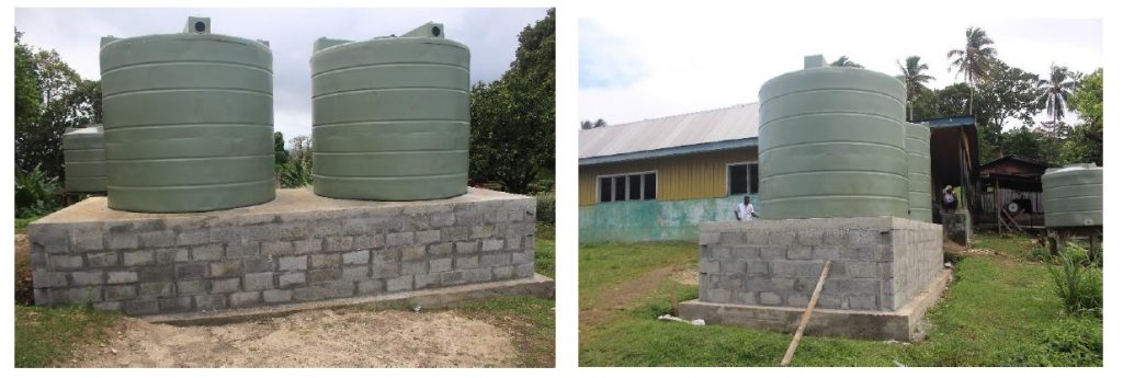
Improved equipment is essential to the project’s success. Rain gauges are being installed in both agricultural research stations and secondary schools to gather essential data for both the national offices but also to keep communities apprised of events. Installing them in schools is also a subtle effort to create interest in STEM careers among the students.
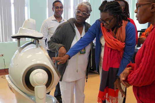
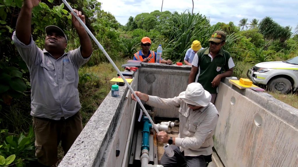
Meteorological automatic weather stations (AWS) that measure wind speeds and directions, temperature, moisture in the air and soil at various depths, and able to work autonomously using solar power, will be installed in strategic locations in the countries. As will hydrological AWS’ which will be able to measure water levels and volume to support early warnings for flood, drought and potentially hydropower in dams.
In the end, however, and as with all India-UN Fund supported projects, the project was underpinned by the hallmarks of South-South cooperation, emphasizing both mutual responsibility and solidarity amongst the partners and leveraging their individual and collective knowledge to strengthen each other and the partnership as a whole. On a local level, stakeholder meetings ensured a whole-of-society approach, and that community knowledge was integrated into decision-making throughout the project.
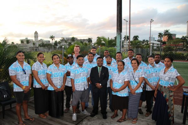
At the global level, the project leveraged the valuable resources and unique experiences shared by both the island nations as well as by India, which itself deals with a plethora of extreme weather challenges. Meteorologists and hydrologists attended professional development trainings at India’s World Meteorological Organization-accredited training institutions. And in 2018, 17 Pacific Island hydrologists went to India for training in the latest hydrology techniques for addressing water shortage and contamination issues.
More recently, there are indications that both Kiribati and Tuvalu may be entering a drought phase, if they haven’t already. The system installed in Kiribati is already helping the Government navigate the potential challenge by providing near real time data, enabling the drought managers to make recommendations based on agreed threshold triggers making the system very valuable management tool.
Produced and edited by UNOSSC/UNDP and UNDP.